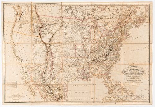
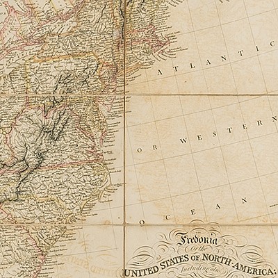
Laurie, Richard Holmes (1777-1858) Fredonia or the United States of North-America; Including also Cabotia, or the Canadian Provinces; t
Lot 1324
About Seller
Bonhams Skinner
274 Cedar Hill Street
Marlborough, MA 01752
United States
Founded over four decades ago, Bonhams Skinner offers more than 60 auctions annually. Bonhams Skinner auctions reach an international audience and showcase the unique, rare, and beautiful in dozens of categories, including the fine and decorative arts, jewelry, modern design, musical instruments, sc...Read more
Categories
About Auction
Catalog Only
By Bonhams Skinner
Nov 2, 2020 - Nov 12, 2020
Set Reminder
2020-11-02 12:00:00
2020-11-12 19:00:00
America/New_York
Bidsquare
Bidsquare : Fine Books & Manuscripts
https://www.bidsquare.com/auctions/skinner/fine-books-manuscripts-5907
Skinner’s November Rare Books and Manuscripts Auction leads off with a stunning collection of photographic books along with important literary works, Manuscripts, maps, letters and even an extensive collection of 700 autographs. Bonhams Skinner bidsquare@bonhamsskinner.com
Skinner’s November Rare Books and Manuscripts Auction leads off with a stunning collection of photographic books along with important literary works, Manuscripts, maps, letters and even an extensive collection of 700 autographs. Bonhams Skinner bidsquare@bonhamsskinner.com
- Lot Description
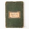
Laurie, Richard Holmes (1777-1858) Fredonia or the United States of North-America; Including also Cabotia, or the Canadian Provinces; the Western Territory to the Pacific Ocean; and the Northern Part of the Mexican States. London: R.H. Laurie, 14th August, 1830. Printed on twenty-five sheets mounted on linen, one of the most important early coast-to-coast maps of the United States, with hand-colored boundary lines, original blue linen covered pasteboard slipcase with printed C. Smith Mapseller's printed label signed "J. Ralph MD/United States of/America.," (map is in fine overall condition, strong coloring on only lightly toned paper with subtle image transfer, all sheets remain securely attached to the linen backing and there are no obvious splits in the folds, the slipcase has wear and lacks the narrow side strips), map 26 1/2 x 39 1/4 in.
Until recently, the very scarce 14 August 1830 issue of Laurie's Fredonia map was thought to be the first printing of this monumental work. Known issues of the map date to 1829, 1830, 1832, 1833, 1834, 1836 and 1849 with each subsequent issue updated to incorporate topographical and boundary changes as they were recorded. The 1830 printing incorporates information collected during the Lewis & Clark expedition, Stephen Long's expeditions to the west and the Aaron Arrowsmith's 1810 map of Mexico. The present copy was owned by American physician Dr. Joseph Ralph who authored several works including Domestic Guide to Medicine, New York, 1835.
Any condition statement is given as a courtesy to a client, is only an opinion and should not be treated as a statement of fact. Skinner Inc. shall have no responsibility for any error or omission. The absence of a condition statement does not imply that the lot is in perfect condition or completely free from wear and tear, imperfections or the effects of aging. - Shipping Info
-
Please visit http://www.skinnerinc.com/services/payment-and-shipping/ for information regarding the collection of items purchased at auction.
-
- Buyer's Premium


 EUR
EUR CAD
CAD AUD
AUD GBP
GBP MXN
MXN HKD
HKD CNY
CNY MYR
MYR SEK
SEK SGD
SGD CHF
CHF THB
THB


