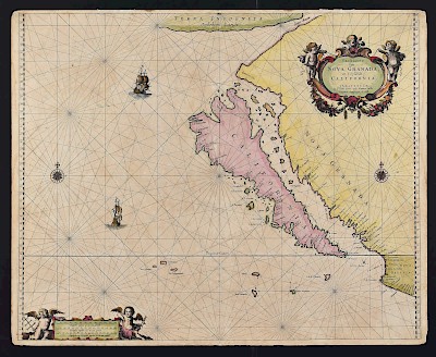
Grp: 5 Maps of Brazil Blaeu Bellin Kitchin
Lot 146
About Seller
Revere Auctions
755 Prior Ave N, #235C
St. Paul, MN 55104
United States
Revere Auctions is a premier auction house located in Saint Paul, Minnesota.
Categories
Estimate:
$100 - $200
Absentee vs Live bid
Two ways to bid:
- Leave a max absentee bid and the platform will bid on your behalf up to your maximum bid during the live auction.
- Bid live during the auction and your bids will be submitted real-time to the auctioneer.
Bid Increments
| Price | Bid Increment |
|---|---|
| $0 | $25 |
| $300 | $50 |
| $1,000 | $100 |
| $3,000 | $200 |
| $7,000 | $500 |
| $10,000 | $1,000 |
| $20,000 | $2,000 |
| $50,000 | $5,000 |
| $100,000 | $10,000 |
| $500,000 | $25,000 |
| $1,000,000 | $50,000 |
| $10,000,000 | $100,000 |
About Auction
By Revere Auctions
Jan 13, 2020
Set Reminder
2020-01-13 13:00:00
2020-01-13 13:00:00
America/New_York
Bidsquare
Bidsquare : Fine Books, Maps, and Manuscripts
https://www.bidsquare.com/auctions/revere-auctions/fine-books-maps-and-manuscripts-4781
An auction featuring an impressive collection of books and maps, including several notable cartographic depictions of California as an island, first editions of notable books including Sir Richard Burton’s “1001 Nights,” and a page from the Nuremberg Chronicle. Revere Auctions info@revereauctions.com
An auction featuring an impressive collection of books and maps, including several notable cartographic depictions of California as an island, first editions of notable books including Sir Richard Burton’s “1001 Nights,” and a page from the Nuremberg Chronicle. Revere Auctions info@revereauctions.com
- Lot Description
Group of five 17th to 19th c. maps of South America and the Caribbean. Thomas Kitchin (1719-1784) map of the Caribbean, "A New Map of the Caribbee Islands in America 1761" London, 1761; Jacques-Nicolas Bellin (1703-1772) "Carte du Bresil Prem Partie. Depuis la Riviere des Amazones jusq'a la Baye de Tous les Saints, Pour servir a l'Histoire Generale des Voyages," Paris, ca. 1757; Willem Janszoon Blaeu (1571-1638), "Brasilia," Amsterdam, ca. 1642; Willem Janszoon Blaeu (1571-1638) hand colored map of Brazil, "Praefectura de Ciriii vel Seregippe Del Rey cum Itapuama," Amsterdam: Covens & Mortier, ca. 1663; Adrien Hubert Brue (1786-1832) "Map of Columbia Compiled by A. H. Brue, from the Astronomical Observations and Topographical notices of Mr. Alex[ande]r. de Humboldt," London: Longman, Rees, Orme, Brown & Green, 1826.
SKU: 03610
Follow us on Instagram: @revereauctions
Please contact us for a detailed condition report. Please note that the lack of a condition statement does not imply perfect condition. Email condition@revereauctions.com with any condition questions.Condition
- Shipping Info
-
Please contact Revere Auction house for a shipping estimate.
-
- Buyer's Premium


 EUR
EUR CAD
CAD AUD
AUD GBP
GBP MXN
MXN HKD
HKD CNY
CNY MYR
MYR SEK
SEK SGD
SGD CHF
CHF THB
THB


