Menu

 EUR
EUR CAD
CAD AUD
AUD GBP
GBP MXN
MXN HKD
HKD CNY
CNY MYR
MYR SEK
SEK SGD
SGD CHF
CHF THB
THBGroup of Maps and book pages
Lot 216


About Seller
Revere Auctions
755 Prior Ave N, #235C
St. Paul, MN 55104
United States
Revere Auctions is a premier auction house located in Saint Paul, Minnesota.
Categories
Estimate:
$100 - $200
Absentee vs Live bid
Two ways to bid:
- Leave a max absentee bid and the platform will bid on your behalf up to your maximum bid during the live auction.
- Bid live during the auction and your bids will be submitted real-time to the auctioneer.
Bid Increments
| Price | Bid Increment |
|---|---|
| $0 | $25 |
| $300 | $50 |
| $1,000 | $100 |
| $3,000 | $200 |
| $7,000 | $500 |
| $10,000 | $1,000 |
| $20,000 | $2,000 |
| $50,000 | $5,000 |
| $100,000 | $10,000 |
| $500,000 | $25,000 |
| $1,000,000 | $50,000 |
| $10,000,000 | $100,000 |
About Auction
By Revere Auctions
Jan 13, 2020
Set Reminder
2020-01-13 13:00:00
2020-01-13 13:00:00
America/New_York
Bidsquare
Bidsquare : Fine Books, Maps, and Manuscripts
https://www.bidsquare.com/auctions/revere-auctions/fine-books-maps-and-manuscripts-4781
An auction featuring an impressive collection of books and maps, including several notable cartographic depictions of California as an island, first editions of notable books including Sir Richard Burton’s “1001 Nights,” and a page from the Nuremberg Chronicle. Revere Auctions info@revereauctions.com
An auction featuring an impressive collection of books and maps, including several notable cartographic depictions of California as an island, first editions of notable books including Sir Richard Burton’s “1001 Nights,” and a page from the Nuremberg Chronicle. Revere Auctions info@revereauctions.com
- Lot Description
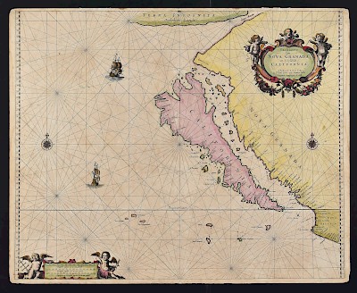
Large group of maps of various parts of the world, particularly Southeast Asia and South America. Includes "Carta dell'Isole Maldive," map of Athens published by the Society for the Diffusion of Useful Knowledge; "Carte de Constantinople, levee par I. Kauffer et J. B. Lechevalier," London, 1815; "A Chart of the Coast of Persia, Guzarat, & Malabar, drawn from the French Chart of [th]e Eastern Ocean, Publish'd in 1740, by Order of the Count de Maurepas, improved from Particular Surveys, and regulated by Astronomical Observations" ; "A New and accurate Map of Cormandel, Malabar, Bengal, &c., exhibiting the Principal European Settlements in the East Indies," London, J. Hinton, 1756; Bellin "Carte de l'Inde en deca du Gange compronent l'Indoustan & c.," 1752; Isaak Tirion, "Land-Kaart van het Eiland en de Volkplanting van Cayenne, aan de Kust van Zuid-America," 1767; Bellin, "Carte Particuliere de l'Isle de Juan Fernandes, Tiree du Voyage de l'Admiral Anson," Paris, 18th c; John Blair and Thomas Kitchin, (1718–1784), "A Map of the West Indies and Middle Continent of America from the latest Observations by John Blair LLD & FRS, as a Supplement to his Tables of Chronology," London, 1773; 18th c. English Map of "Sulphur Island" (Iwo Jima); "Empire of Japan," London, Baldwin & Gradock, 1835. With three manuscript pages, two from the same book, possibly Mughal, with floral illuminations, and one vellum page written in Amharic, possibly from a Qur'an.
SKU: 03524
Follow us on Instagram: @revereauctions
Please contact us for a detailed condition report. Please note that the lack of a condition statement does not imply perfect condition. Email condition@revereauctions.com with any condition questions.Condition
- Shipping Info
-
Please contact Revere Auction house for a shipping estimate.
-
- Buyer's Premium


