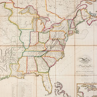
* MOLL, Herman (1654?-1732). The World Described; or a new and correct sett of maps. [from letterpress contents leaf]. [London:
Lot 93
About Seller
Hindman
1338 West Lake Street
Chicago, IL 60607
United States
Recognized as the Midwest's leading fine art auctioneers, Hindman Auctioneers has built a worldwide reputation based on a full service approach to the auction business tailored to meet the individual needs of our clients. Coming from a variety of educational backgrounds, specialists bring years of e...Read more
Categories
Estimate:
$8,000 - $12,000
Absentee vs Live bid
Two ways to bid:
- Leave a max absentee bid and the platform will bid on your behalf up to your maximum bid during the live auction.
- Bid live during the auction and your bids will be submitted real-time to the auctioneer.
Bid Increments
| Price | Bid Increment |
|---|---|
| $0 | $25 |
| $500 | $50 |
| $1,000 | $100 |
| $2,000 | $250 |
| $5,000 | $500 |
| $10,000 | $1,000 |
| $20,000 | $2,500 |
| $50,000 | $5,000 |
| $100,000 | $10,000 |
About Auction
By Hindman
Nov 12, 2018
Set Reminder
2018-11-12 11:00:00
2018-11-12 11:00:00
America/New_York
Bidsquare
Bidsquare : The Fine Cartographic and Printed Americana Collection of Evelyn and Eric Newman
https://www.bidsquare.com/auctions/hindman-auctions/the-fine-cartographic-and-printed-americana-collection-of-evelyn-and-eric-newman-3534
Hindman Bidsquare@hindmanauctions.com
Hindman Bidsquare@hindmanauctions.com
- Lot Description
* MOLL, Herman (1654?-1732). The World Described; or a new and correct sett of maps. [from letterpress contents leaf]. [London: J. & T. Bowles, ca 1740-1745.]
Folio (620 x 525 mm). Title-page and contents leaf trimmed and mounted to pastedown. 30 engraved folding maps (double-page and folding), hand-colored in outline, all on guards, additional plates and maps mounted to some versos and blank areas. (Browning, staining, and creasing throughout, some maps with marginal chipping or fraying, a few maps separated at fold occasionally with repairs, map of the South Sea Company smaller, laid in, and with the three smaller maps on one sheet.) Contemporary blind calf (worn, broken).
Later issue of Moll's important atlas, containing 2 World maps and 6 maps of the Americas. The maps conform to Steven's Catalogue "H," issue i, except: The New and Correct Map of the World (issue j, with a variant dedication not in Stephens); A New & Correct Map of the Whole World (issue d); and An Historical Map of the Roman Empire (issue k). A New and Exact Map of the Dominions of the King of Great Britain on ye Continent of North America, known as the "Beaver Map," due to the vignette showing wildlife around Nigara Falls, is one of the most important maps of North America delineating the French and English claims. Phillips 554; Henry Stevens and Henry Robert Peter Stevens, The World Described in thirty large two-sheet maps by Herman Moll Geographer (1952). Sold as a collection of maps not subject to return.
Estimate $8,000-12,000 - Shipping Info
-
Please refer to https://www.lesliehindman.com/shipping-packing/
-
- Buyer's Premium


 EUR
EUR CAD
CAD AUD
AUD GBP
GBP MXN
MXN HKD
HKD CNY
CNY MYR
MYR SEK
SEK SGD
SGD CHF
CHF THB
THB![* MOLL, Herman (1654?-1732). The World Described; or a new and correct sett of maps. [from letterpress contents leaf]. [London:](https://s1.img.bidsquare.com/item/l/3925/3925379.jpeg?t=1GalnL)
![* MOLL, Herman (1654?-1732). The World Described; or a new and correct sett of maps. [from letterpress contents leaf]. [London:](https://s1.img.bidsquare.com/item/s/3925/3925379.jpeg?t=1GalnL)


